![]()
Download site for solar radiation maps of the Iberian Peninsula, calculated using the InsolMets method
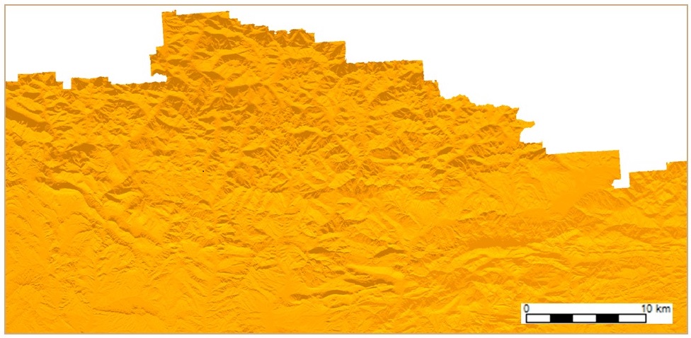
The solar radiation maps on this website are raster layers with a resolution of 100 m, in UTM-30N projection with the ETRS89 datum. They contain solar radiation data for the Iberian Peninsula and are available in two formats:
- MiraMon: .img in .mmzx (ISO 19165:2018), openable directly in MiraMon.
- GeoTIFF: .tif in .zip (ISO/IEC 21320-1:2015), openable in various environments after downloading the ZIP.
The InsolMets method is a calculation algorithm that provides an estimate of solar radiation on the land surface based on remote sensing atmospheric data (Cloud Optical Thickness -COT- and Cloud Fractional Cover -CFC-) that allows calculating direct solar radiation under both cloudy and clear sky conditions, and applying a differentiated COT treatment in both scenarios. Furthermore, it considers the estimation of the diffuse component contribution as a ratio to the direct component, attenuated by atmospheric scattering under clear sky conditions (τ0=0.288), neglecting terrain effects and shadows, using diffuse radiation data observed at different meteorological stations (DIFvsDHI). The solar position is computed at the center of each Digital Elevation Model (DEM) tile, ensuring that the solar radiation differences between the central point of each tile and any other point are ≤ 1.00 %, and that cast-shadows are properly accounted for at every point. The model also includes the calculation of the solar vector incidence angles, considering the relief and topographic cast-shading, as well as astronomical procedures, atmospheric extinction, and other factors. These characteristics make InsolMets an especially valuable tool, as it allows for the accurate assessment of solar radiation in complex terrains with changing spatiotemporal atmospheric and climatic conditions, adjusting to the specific features of each terrain. The calculations have been carried out taking into account the Sun's position every 30' from sunrise to sunset, using the InsolDia application within the free MiraMon GIS software, and the results are provided in energy units [kWh/(m²·day)].
- The remote sensing atmospheric data used for calculating the InsolMets model is available at: Cloud Optical Thickness (COT) and Cloud Fractional Cover (CFC)
- The diffuse component contribution used for calculating the InsolMets model is available at: Diffuse contribution (DIFvsDHI)
InsolMets: Real Solar Radiation (Dec 2004–2020)
As a comparative alternative to the InsolMets method, you can also download solar radiation data based on the CAC procedures, a method that uses a simpler treatment of the atmosphere and does not require any remote sensing data.
The data on this website have been prepared by Catalina Roca-Fernández, Xavier Pons and Miquel Ninyerola, from the Grumets research group at the Universitat Autònoma de Barcelona, as part of a comparative study of methods for calculating solar radiation in the Iberian Peninsula, published in:
➠ Roca-Fernández, C.; Pons, X.; Ninyerola, M. (2025). "A Comparison of Different Solar Radiation Models in the Iberian Peninsula". Atmosphere, 16(5), 590. Doi: 10.3390/atmos16050590
*****
Additional related publications
⟹ DIGITAL ELEVATION MODEL AND SOLAR ILLUMINATION GEOMETRY
The DEM used to compute the InsolMets model is available at:
https://www.infoambiental.grumets.cat/RadSolarPI/DEM/DEM_Iberian_Peninsula_100m.mmzx (.img in .mmzx)
https://www.infoambiental.grumets.cat/RadSolarPI/DEM/DEM_Iberian_Peninsula_100m.zip (.tif in .zip)
The DEM tessellation used for calculating the solar illumination geometry is available at:
https://www.infoambiental.grumets.cat/RadSolarPI/DEM/DEM_Tessellation_WithOverlap.zip (.xlsx in .zip; NOTE: Excel file with two sheets {Y and X coordinates})
https://www.infoambiental.grumets.cat/RadSolarPI/DEM/DEM_Tessellation_WithoutOverlap.zip (.xlsx in .zip; NOTE: Excel file with two sheets {Y and X coordinates})
The DEM methodology and the procedure for calculating the solar illumination geometry have been published in:
➠ Roca-Fernández, C.; Ninyerola, M.; Pons, X. (2022). "Mejoras en el cálculo de los Modelos Digitales de Radiación Solar a partir del tratamiento del MDE y de la incorporación del patrón espaciotemporal de la profundidad óptica atmosférica: Resultados preliminares para la Península Ibérica". XIX Congreso de Tecnologías de la Información Geográfica – TIG al Servicio de los ODS (Departamento de Geografía y Ordenación del Territorio de la Universidad de Zaragoza, y la Asociación de Geógrafos Españoles), pp. 391-400, 12-14 September 2022, Zaragoza (Spain). Doi: 10.26754/uz.978-84-18321-49-8. ResearchGate: Conference Paper
⟹ SOLAR RADIATION NETWORKS
The solar radiation networks used to validate the InsolMets model are available at:
Solar radiation network AEMET-Spain
Solar radiation network SNIRH-Portugal
- The meteorological stations from the AEMET-Spain network are available at:
https://www.infoambiental.grumets.cat/RadSolarPI/Networks/SolarRadNet_AEMET_Spain.zip (.csv in .zip)
https://www.infoambiental.grumets.cat/RadSolarPI/Networks/SolarRadNet_AEMET_Spain_ETRS89.mmzx (.pnt in .mmzx)
https://www.infoambiental.grumets.cat/RadSolarPI/Networks/SolarRadNet_AEMET_Spain_WGS84.mmzx (.pnt in .mmzx)
* To request solar radiation data from the AEMET-Spain network, please contact: Services AEMET-Spain
- The meteorological stations from the SNIRH-Portugal network are available at:
https://www.infoambiental.grumets.cat/RadSolarPI/Networks/SolarRadNet_SNIRH_Portugal.zip (.csv in .zip)
https://www.infoambiental.grumets.cat/RadSolarPI/Networks/SolarRadNet_SNIRH_Portugal_ETRS89.mmzx (.pnt in .mmzx)
https://www.infoambiental.grumets.cat/RadSolarPI/Networks/SolarRadNet_SNIRH_Portugal_WGS84.mmzx (.pnt in .mmzx)
* The solar radiation data from the SNIRH-Portugal network is available at: https://www.infoambiental.grumets.cat/RadSolarPI/Networks/SolarRadData_SNIRH_Portugal_2001_2020.zip (.csv in .zip)
- The meteorological stations from the AEMET-SNIRH network across the Iberian Peninsula are available at:
https://www.infoambiental.grumets.cat/RadSolarPI/Networks/SolarRadNet_AEMET_SNIRH_Iberia.zip (.csv in .zip)
https://www.infoambiental.grumets.cat/RadSolarPI/Networks/SolarRadNet_AEMET_SNIRH_Iberia_ETRS89.mmzx (.pnt in .mmzx)
https://www.infoambiental.grumets.cat/RadSolarPI/Networks/SolarRadNet_AEMET_SNIRH_Iberia_WGS84.mmzx (.pnt in .mmzx)
The methodology for integrating the two Iberian solar radiation networks has been published in:
➠ Roca-Fernández, C.; Ninyerola, M.; Pons, X. (2024). "Diagnosis for integrating the main Iberian networks of solar radiation meteorological stations". GeoFocus, 33, pp. 43-75. Doi: 10.21138/GF.850
*****
InsolMets model solar radiation layers are available in different formats
- Monthly climate data: 12 layers (one per month), providing both average and median values for that month over the entire 2004–2020 period.
- Monthly data for each year: 204 layers (one per month, year by year), providing average values for each month from 2004 to 2020.
- Yearly data: 17 layers (one per year), providing both average and median values for each year (2004–2020).
- Global data: 1 layer for the entire period, providing both average and median values (2004–2020).
➢ Monthly climate data (2004–2020):
➢ Monthly data for each year (2004–2020):
➢ Yearly data (2004–2020):
➢ Global data (2004–2020):
For any questions you can write to Xavier.Pons@uab.cat